Santa Barbara
Santa Barbara is 1-4 ft, waist to chest. Up to 5 ft at the best exposures. Next tide high 6.0 ft at 10:11 AM. Water 71°F.
Santa Barbara is 1-4 ft, waist to chest. Up to 5 ft at the best exposures. Next tide high 6.0 ft at 10:11 AM. Water 71°F.6:10 AM auto summaryBest now
400 m to 1 km grid. CDIP model.
CDIP, NOAA, Open-Meteo, © OpenStreetMap contributors
Santa Barbara 2-5 ft, Fair.
Written at 6:00 AM from live data.
Santa Barbara is 1-4 ft, waist to chest. Up to 5 ft at the best exposures. Next tide high 6.0 ft at 10:11 AM. Water 71°F.
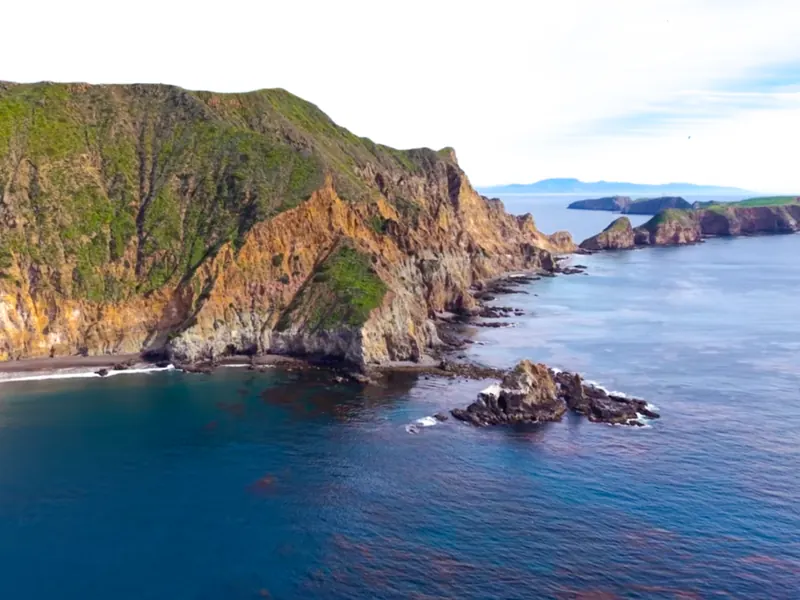
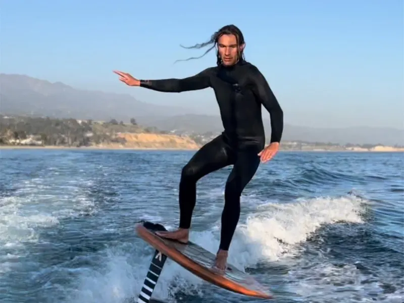
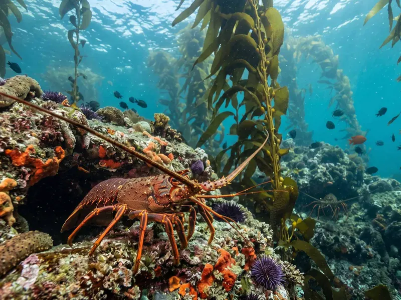
Up to 6 guests on a 25 ft boat. Snorkeling, sea caves, foiling and diving.
Book a tripSeven days by region. Tap a day for detail.
| Dawn | Morning | Midday | Afternoon | |
|---|---|---|---|---|
| Past | Past | Past | Sun afternoon: Santa Barbara 2-5 ft, Fair, WSW 10 kt cross-onshore. | |
Sunday, Santa BarbaraLoading the Santa Barbara forecast. | ||||
| Mon dawn: Santa Barbara 1-4 ft, Good, NNW 4 kt offshore. | Mon morning: Santa Barbara 1-4 ft, Fair to Good, SW 4 kt onshore. | Mon midday: Santa Barbara 1-4 ft, Fair, SW 9 kt cross-onshore. | Mon afternoon: Santa Barbara 1-4 ft, Fair, WSW 8 kt cross-onshore. | |
| Tue dawn: Santa Barbara 1-4 ft, Good, NNE 4 kt offshore. | Tue morning: Santa Barbara 1-4 ft, Poor to Fair, SSW 5 kt onshore. | Tue midday: Santa Barbara 1-4 ft, Poor to Fair, SW 8 kt onshore. | Tue afternoon: Santa Barbara 1-4 ft, Fair, WSW 8 kt cross-onshore. | |
| Wed dawn: Santa Barbara 1-3 ft, Fair to Good, NNE 5 kt offshore. | Wed morning: Santa Barbara 1-3 ft, Fair, SSW 4 kt onshore. | Wed midday: Santa Barbara 1-3 ft, Fair, WSW 4 kt cross-onshore. | Wed afternoon: Santa Barbara 1-3 ft, Fair, W 4 kt cross. | |
| Thu dawn: Santa Barbara 1-3 ft, Fair, NNE 4 kt offshore. | Thu morning: Santa Barbara 1-3 ft, Fair, SSW 3 kt onshore. | Thu midday: Santa Barbara 1-3 ft, Fair, W 4 kt cross-onshore. | Thu afternoon: Santa Barbara 1-3 ft, Poor to Fair, WNW 6 kt cross. | |
| Fri dawn: Santa Barbara 1-3 ft, Fair, NNE 5 kt offshore. | Fri morning: Santa Barbara 1-3 ft, Fair, S 2 kt glassy. | Fri midday: Santa Barbara 1-3 ft, Poor to Fair, W 7 kt cross-onshore. | Fri afternoon: Santa Barbara 1-3 ft, Poor to Fair, W 7 kt cross. | |
| No estimate | Sat morning: Santa Barbara 1-3 ft, Fair, SSW 4 kt onshore. | No estimate | No estimate | |
Offshore swell only. Size at the beach depends on the region.
Tide for the next three days, by region.
Observed at Stearns Wharf, then the forecast.
Could stay clean until about 8 AM to noon
Stearns Wharf. Forecast: blend of HRRR, NBM, ECMWF, GEM, GFS.
How much of an offshore swell reaches this coast, by direction.
Bar: median. Tick: the most exposed 10% of the coast.
Point Conception and the Channel Islands block NW and most S swell. Open to SW to WSW (225 to 255) through the channel's west entrance. Hollister Ranch and Point Conception see the most. Carpinteria and Rincon open to W. The Santa Barbara waterfront is the most sheltered stretch.
Three offshore buoys for Santa Barbara. Swell shows up here first.
Outside Point Conception. First read on west and northwest swell entering the channel.
At the beach: Santa Barbara about 2-5 ft, Ventura about 3-7 ft. Most of the northwest energy is blocked.
InformsSanta BarbaraVentura
Mostly blocked for Santa BarbaraMostly blocked for Ventura
Mid channel off Goleta. Channel wind swell, wind and water temperature.
No reading since Mon 9:50 PM
InformsSanta BarbaraVentura
South of the islands. First read on south swell for Santa Barbara, Ventura and Los Angeles.
No reading
InformsSanta BarbaraVenturaLos Angeles
Dashed: windswell
All buoy dataSwell alerts and notes for Santa Barbara.
NOAA says a strong to very strong El Niño is likely through early 2027, with odds above 83%. Here is what that has meant for Santa Barbara surf and rain in the past, and what the forecast shows right now.
Santa BarbaraCalifornia's recreational spiny lobster season opens Friday evening and runs through March 17. Here are the dates, the key rules and the conditions to check before you dive.
Santa BarbaraVenturaLos AngelesOrange CountySan DiegoAnswers from the latest data.
2-5 ft, chest to shoulder, rated Fair, as of 5:35 PM.
10 kt SW, gusting 13 kt, cross-onshore.
Tomorrow at 4:20 AM, 2.0 ft, at Santa Barbara. High tide follows tomorrow at 10:37 AM, 5.9 ft.
71°F at Stearns Wharf as of 5:10 PM.
Trunks or springsuit, with the water at 71°F.